For most of human history, the cartographer's core challenge was information scarcity. Coastlines had to be surveyed by ship, mountain ranges triangulated by theodolite, rivers traced by expedition. The mapmaker's job was to gather hard-won data and render it legible. Today the problem has inverted entirely: we are drowning in geospatial information, and the cartographer's task is increasingly about what to leave out.
This is where artificial intelligence enters — not as a replacement for the mapmaker, but as a collaborator in a newly complicated editorial process. Machine-learning systems can now ingest satellite imagery, LiDAR scans, GPS traces, and crowdsourced annotations at a pace no human team could match. They can detect roads, classify land cover, identify buildings, and update datasets in near-real time. What they cannot do, at least not yet, is decide what a map is for.
The automation of detection
The most visible AI application in cartography is feature extraction. Neural networks trained on labelled satellite imagery can identify roads, water bodies, and structures with remarkable accuracy. Organizations maintaining global basemaps have deployed these systems to keep pace with urban sprawl, deforestation, and infrastructure development. A road that took weeks to survey a century ago can now be detected, traced, and added to a database within hours of a satellite pass.
This automation has democratized access to current geographic data. Humanitarian mapping efforts that once relied on volunteer digitizers can now use AI-assisted tools to accelerate response to disasters. But speed introduces its own complications. A system optimized to detect roads may flag every dirt track in a rural landscape, producing maps so cluttered they become useless for navigation. The algorithm sees patterns; it does not understand purpose.
The persistence of editorial choice
Every map is an argument. A transit map emphasizes connections over distance. A topographic map privileges elevation over population. A political map draws borders that may be contested on the ground. These choices cannot be automated away, because they depend on understanding who will use the map and why.
AI systems struggle with this kind of contextual reasoning. They can be trained to mimic the style of existing maps, reproducing the visual hierarchy of a particular cartographic tradition. But they cannot intuit that a map for hikers should de-emphasize highways, or that a map for emergency responders needs hospital locations more than coffee shops. The cartographer's judgment — what to show, what to hide, what to emphasize — remains stubbornly human.
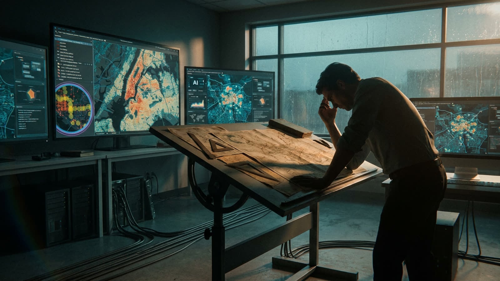
This creates a new division of labor. The AI handles detection and drafting; the human handles curation and design. In practice, this means cartographers spend less time digitizing and more time reviewing, correcting, and contextualizing machine output. The job has shifted from data entry to data editing.
The question of trust
Maps carry implicit authority. When a feature appears on a map, users tend to believe it exists. When a border is drawn, it acquires a kind of legitimacy. AI-generated cartography inherits this authority without necessarily earning it. A neural network confident enough to draw a road may have hallucinated it from ambiguous pixels. A system trained on outdated imagery may show buildings that no longer stand.
The cartographic community is still developing protocols for communicating uncertainty in AI-assisted maps. Some organizations flag features by confidence score; others maintain parallel human-verified layers. The challenge is that most map users never see these caveats. They see the map, and they trust it.
Our take
The romance of cartography has always been about exploration and discovery, but the discipline's deeper contribution is synthesis — taking chaos and rendering it navigable. AI excels at the former and falters at the latter. The machines can see everything; they just cannot tell you what to look at. For now, that remains the cartographer's job, and it is arguably more important than ever. In an age of infinite geographic data, the scarcest resource is not information but attention. Someone has to decide what belongs on the map. Until AI learns to understand purpose, that someone will be human.